
Can you visit Ko Khram
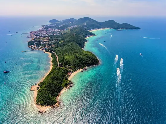
Ko Khram (Koh Kram, เกาะคราม) is not a tourist island. It is uninhabited, lies in Sattahip district of Chonburi province and is under the care of the Royal Thai Navy. Reference sources call it closed to tourists, and we found no official page with visiting rules from DNP, TAT or the Navy. So as of 18 October 2026 the honest answer is that there is no confirmed way to visit Ko Khram.
Here is what we know, and where it comes from:
- Size and status. The island is about 5.7 km long and 13.9 km² in area, up to 219 m high, and the largest island of the bay on the eastern seaboard (Wikipedia, a reference source)
- Distance. About 28 km in a straight line from central Pattaya and 27 km from Bali Hai Pier, which is not the length of a boat route (calculated on OpenStreetMap coordinates)
- Beaches. Sandy and pebbly, with a sandy bay in the north-west and housing for naval personnel in the north-east (the Thai Wikipedia article)
- Turtles. The beaches are nesting sites for hawksbill and green sea turtles (same source)
Ko Khram or Ko Kham
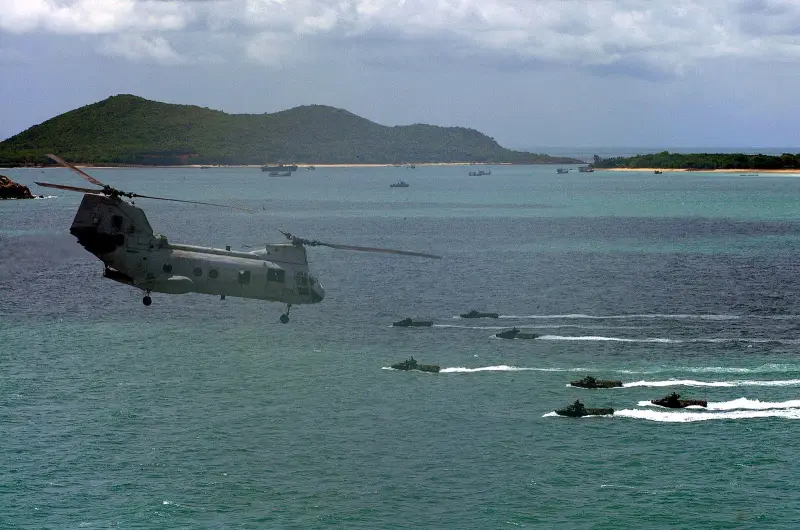
English texts mix up these names, and it matters, because tourists go to Ko Kham and not to Ko Khram.
| Island | Thai name | Size | Access |
|---|---|---|---|
| Ko Khram | เกาะคราม | about 13.9 km², about 28 km from central Pattaya | Navy zone, no confirmed tours |
| Ko Kham | เกาะขาม | a small islet near Ko Samae San | day trips by Navy boat from Khao Ma Jor pier |
A Pattaya Mail article of 22 October 2014 headed “Navy opens Koh Khram Underwater Park” describes Khao Ma Jor pier and an underwater park, and other sources link that route to Ko Kham. So we do not treat the 2014 data as proof that Ko Khram takes visitors.
How to check access yourself
- Call the Navy’s civil affairs office in Sattahip. The number in the 2014 article is 038 437 927, and for Ko Kham a 2020 article gives 038 432 170, and both may be out of date
- Do not agree to a boat “to Ko Khram” without written permission: if the island is in a military zone, landing could cause trouble with the Navy
- Ask the operator which islands exactly it serves, and check the Thai spelling on a map
Where to go instead of Ko Khram
- Koh Larn. The ferry from Bali Hai Pier takes about 45 minutes, there is no national park fee, and it suits half a day. Details in the Koh Larn guide
- Koh Samet. A national park in Rayong, with a DNP fee of 200 baht for a foreign adult, a day of about 11 hours, better with an overnight stay. Details in the Koh Samet guide
- Navy-run islands near Sattahip. Ko Kham and Ko Samae San take day visitors, with no overnight stays. Sources disagree on prices (from 200 to 600 baht), timetables and visitor limits, so call the pier before you set out
When to go and the weather
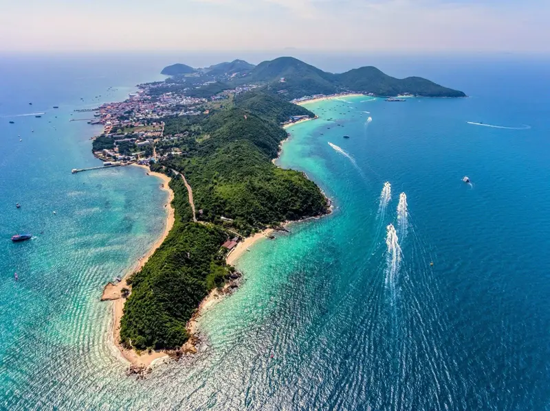
For any sea trip near Sattahip the weather matters. TMD normals for the Sattahip station (1991-2020) show December to March as dry and October as the wettest month.
| Period | What to expect |
|---|---|
| December-March | dry, calmer sea |
| April-August | 91-159 mm of rain a month, hot |
| September-October | the wettest months, 244.5 and 285.6 mm |
Getting there and how long it takes
There is no public route to Ko Khram. For orientation: from central Pattaya to Bali Hai Pier is 3.2 km and about 6 minutes by car (OSRM), but ferries and boats from that pier go to Koh Larn, not Ko Khram. The distance to Ko Khram in a straight line is about 28 km, which is not a route.
Fees and charges
There is no DNP fee on Ko Khram: the island is not in the national park fee table. Terms of visiting and any charge are set by the Navy, and there is no confirmed information.
What to do in rain or rough seas
- If you do arrange a trip, expect cancellation in strong wind, as on other islands of the gulf
- Back-up in the city: the Underwater World aquarium
Safety
- It is a military zone: do not approach the island by boat without the Navy’s permission, since its terms apply to everyone
- Do not buy “Ko Khram tours” from random sellers: no confirmed programmes exist, so get confirmation from the Navy and check the Thai name
- The beaches are turtle nesting sites: do not disturb the animals if you do find yourself on a shore
- For any sea trip, check the life jackets on the boat and the terms of your own insurance
Who it suits and who should skip it
- Suits anyone studying the Sattahip islands. You can learn in advance what is open to tourists and what is not
- Skip it if you want a beach day. Choose Koh Larn or Koh Samet
- Skip it if you are going without permission. The island is in a Navy zone
- Skip it if you expect lunch and sunbeds. Ko Khram has no tourist infrastructure
Other trips are in the overview of excursions from Pattaya.
FAQ
Can a tourist visit Ko Khram?
We found no confirmed way. The island is in a Royal Thai Navy military zone near Sattahip, and reference sources call it closed to tourists. Neither DNP nor TAT has a page with visiting rules, so we do not promise a landing and do not advise going without written Navy permission.
How do I get to Ko Khram from Pattaya?
We found no public service and no tourist pier. In a straight line it is about 28 km from central Pattaya and about 27 km from Bali Hai Pier, calculated on OpenStreetMap coordinates and not a boat route. For an official contact, try the Navy's civil affairs office in Sattahip: the number in a 2014 Pattaya Mail article is 038 437 927 and may be out of date.
Are Ko Khram and Ko Kham the same island?
No. Ko Khram (เกาะคราม) is large, about 13.9 km², and about 28 km from central Pattaya in a straight line. Ko Kham (เกาะขาม) is a small islet near Ko Samae San, reached by a Navy boat from Khao Ma Jor pier, and it takes day visitors. English texts mix the names up, so check the Thai spelling.
Is there a national park fee on Ko Khram?
There is no such fee: Ko Khram is not in a national park and is not in the DNP fee table (revision of 2 June 2023). The Navy runs the island, and it sets any terms of visiting and any fee.
Does Ko Khram have beaches, and can you swim?
It has beaches: according to the Thai Wikipedia article they are sandy and pebbly, with a sandy bay on the north-west side. They are also nesting sites for hawksbill and green sea turtles. The sources do not say whether swimming or landing is allowed.
What can I do instead of Ko Khram if I want an island near Pattaya?
For half a day by the sea take Koh Larn: the ferry from Bali Hai Pier takes about 45 minutes and there is no national park fee. For white sand and a full day take Koh Samet, where the DNP fee is 200 baht for a foreign adult. The Navy-run islands (Ko Kham, Ko Samae San) take day visitors, but sources disagree on prices and timetables.
When is the sea calmer near Sattahip?
TMD normals for the Sattahip station (1991-2020) show December to March as dry and October as the wettest month, with 285.6 mm of rain. Boats depend on the wind, so in the wave season from May to October plan a spare day.
Sources
- DNP. National park entrance fees for individuals (open dataset, revision of 2 June 2023): Ko Khram is not in the table
- DNP. Opening and closing status of national parks: Ko Khram is not listed
- OpenStreetMap: Ko Khram island (way 26 586 065)
- Wikipedia. Ko Khram (reference source for general facts on status and size)
- Wikipedia, Thai article: เกาะคราม (area, beaches, turtle nesting)
- Pattaya Mail. Navy opens Koh Khram Underwater Park (22 October 2014; names and pier may be confused with Ko Kham)
- Pattaya Mail. Nature tourism and charms in Chonburi Province nearby Pattaya City (19 June 2020, Ko Samae San and Ko Kham)
- Samae San Guide. Koh Kham Island Guide 2026 (commercial guide, timetable and prices differ from other sources)
- TMD. Climatological Data of Thailand for 30 Year Period (1991-2020), Sattahip station (48 477)
Found an error or outdated fact? Tell the editors, we will fix it and update the check date.