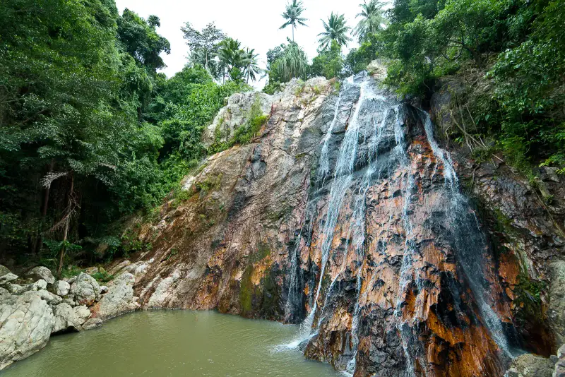

What you will see at the Na Muang waterfalls
Na Muang (น้ำตกหน้าเมือง) is a cascade inland in the southern part of Samui, in Na Mueang subdistrict. The official Thailand Tourism Directory describes it as a medium-sized waterfall: the stream runs over tall granite rocks, and the water is clear and cool, good for swimming. Visitors talk of two tiers, and OpenStreetMap marks a third as well.
The first fall (Na Muang 1). It drops about 18 m into a natural pool wide enough to swim in, by Thai Holiday Guide. OpenStreetMap gives the height as 20 m. From the car park it is five minutes along a shaded path, which gets slippery after heavy rain.
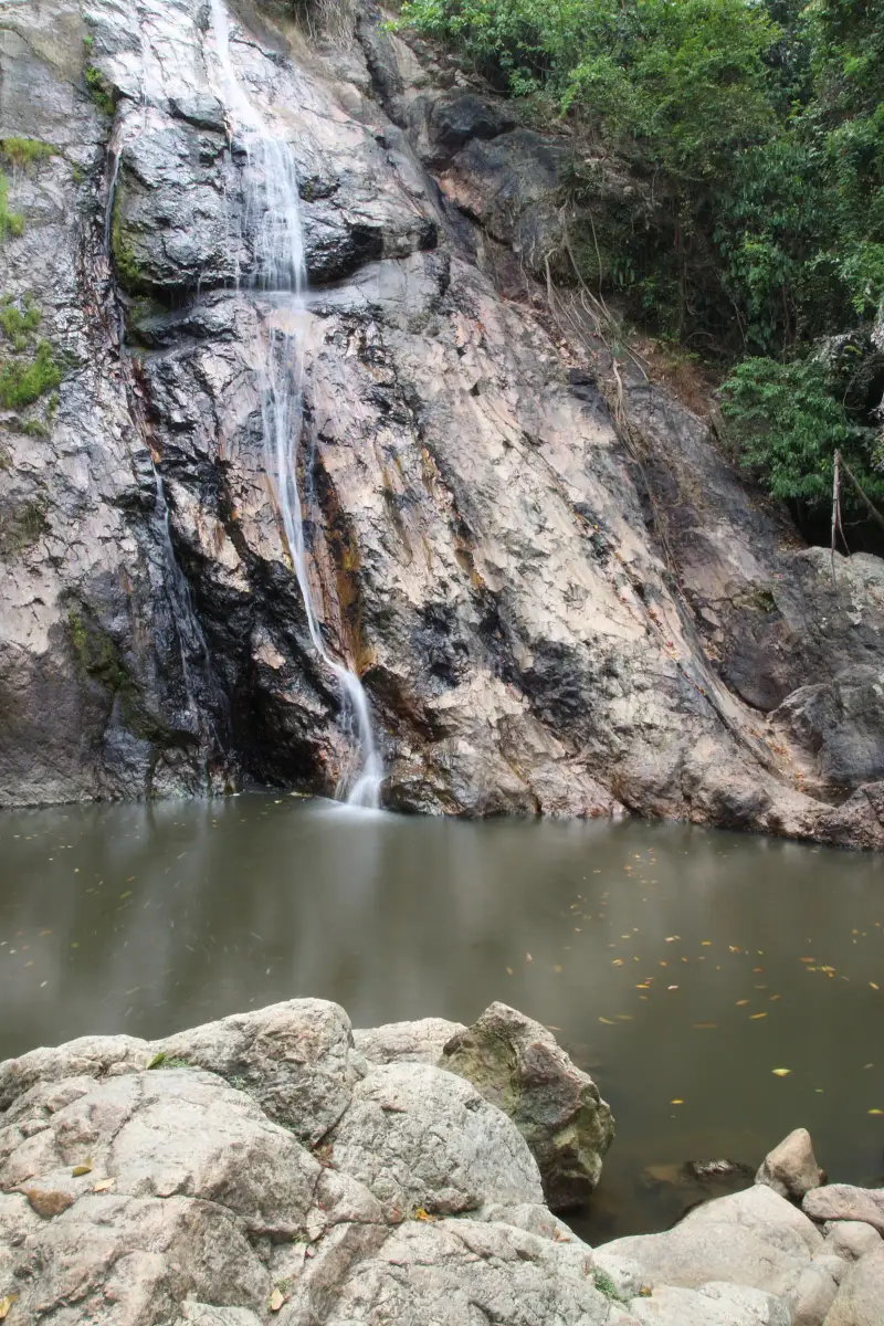
The second fall (Na Muang 2). Further upstream, at about 80 m by Thai Holiday Guide’s description, and the tallest on the island. It takes about 35 minutes by a steep, root-tangled trail, and you need shoes with grip, not sandals. OpenStreetMap puts it 0.9 km from the first as the crow flies, and the trail is longer.
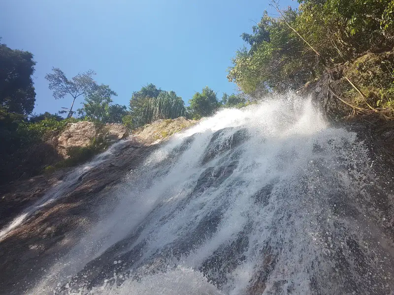
Swimming and rocks. The pool at the first fall is good for swimming while the water is calm: the depth changes sharply, and you can step off a ledge into deep water. At the second fall the rocks by the water are very slippery, and Thai Holiday Guide advises using the ropes.
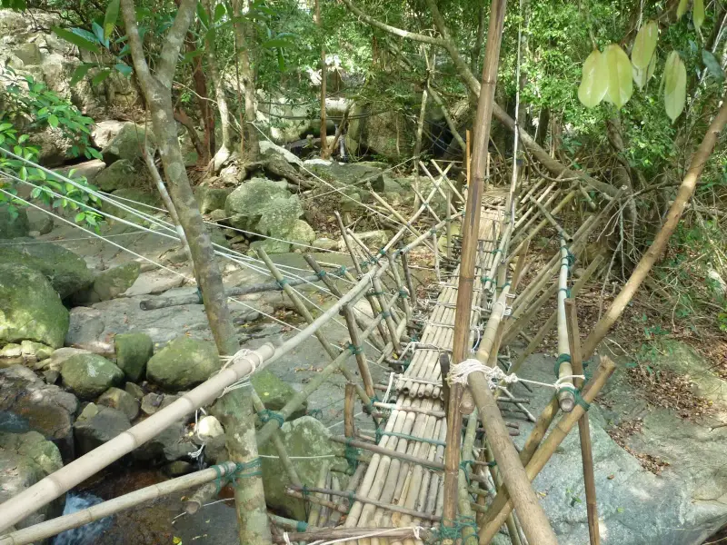
Hours and how to spend your time
Thai Holiday Guide gives hours of 8:00-17:00 daily, and we found no official timetable. Allow 1-2 hours for the first fall and 3-4 hours for both.
- The car park at the first fall, about 12.8 km from Nathon Pier
- Five minutes on foot along a shaded path to the first fall
- A swim in the pool, holding the railings and ropes on slippery rocks
- If you go higher, about 35 minutes of steep trail to the second fall, with shoes that grip on the way up and down
- Back along the same trail to the car park
Getting there and how far it is
By car, scooter or taxi only: no songthaew route serves the site (Thai Holiday Guide). The road leads from the island’s ring road along route 4169.
| From | Distance | Time without traffic |
|---|---|---|
| Lamai | 9.3 km | about 12 min |
| Nathon Pier | 12.8 km | about 15 min |
| Chaweng | 19.1 km | about 21 min |
| Samui Airport (USM) | 24.0 km | about 28 min |
OSRM calculation on OpenStreetMap data, route from Lamai. If you rent a scooter, see which licence you need and the rules of the road. If you stay in Lamai, it is the nearest beach to the falls.
When to go
There is more water after rain. Thai Holiday Guide gives October-January as the best time and warns that the upper trail becomes dangerously muddy in October-November. Samui is on the eastern side of the south, and its rain comes with the winter northeast monsoon (TMD).
| Period | What to expect |
|---|---|
| October-November | the strongest flow, 295 and 445 mm of rain, the upper trail dangerously muddy |
| December-January | still plenty of water, 263 and 127 mm, an easier trail |
| February-April | the dry months (64, 116 and 83 mm), less water, a more dependable trail |
| May-September | 102-134 mm of rain a month by TMD normals, less water than after downpours |
Entry and fees
We found no official fee schedule. Thai Holiday Guide (July 2026) says the first fall is free and that the second and the parking carry a small charge, but the figures have no primary source, so we do not quote them. Bring a little cash for parking and ask on the spot.
What to do in rain
After heavy rain the flow is stronger and the trail to the first fall is slippery, and in October-November the upper trail is dangerously muddy (Thai Holiday Guide). After heavy rain stay at the first fall and do not enter the water when the current is fast. If the sea is shut and tours are off, the falls are a fallback: pair them with the Big Buddha. If the weather is good and the sea calm, look at Ang Thong.
Safety
- Depth. At the first fall you can step off a submerged ledge into deep water (Thai Holiday Guide). Swim carefully and keep children close
- The second fall. The rocks at the water are very slippery, and Thai Holiday Guide says serious accidents have happened there. In July 2019 a tourist from Spain fell from a cliff at Na Muang 2 and died, and rescuers needed more than two hours to bring the body down the steep slope (Thai PBS, 29.07.2019)
- The trail. Steep, with roots and mud: shoes with grip are essential, and the second fall is not for small children
- Insurance. Hiking over slippery rocks is better done with medical insurance: is it needed in Thailand
- Elephants. Elephant riding and “safari” operations are offered near the car parks, and Thai Holiday Guide advises against them. How to tell a sanctuary from a camp is in the elephant guide
What to bring
- Shoes with grip: trainers are fine for the first fall, and sandals are not for the second
- A swimsuit and towel, a dry change of clothes and a bag for wet ones
- Water, insect repellent and a light hat
- Cash for parking and any fee
- A waterproof pouch for your phone
Who it suits and who should skip it
- Suits anyone who wants a few hours away from the beach and a swim in a natural pool
- Suits those ready for 35 minutes of steep trail to see the tall second fall
- Skip it if you plan to go to the upper fall in sandals or with small children
- Skip it if you arrive straight after a downpour: the flow is stronger and the trail slippery
FAQ
Can you swim at the Na Muang waterfalls?
At the first fall, yes: Thai Holiday Guide calls the pool wide enough to swim, but warns that the depth changes sharply and you can step off a submerged ledge into deep water. At the second fall the pools are shallower and the rocks at the water's edge are very slippery, and the guide advises using the ropes. After heavy rain the flow is stronger and the trail slippery, so swimming is riskier then.
How much does it cost to enter the Na Muang waterfalls?
We found no official fee schedule or price list. Thai Holiday Guide (July 2026) says the first fall is free and that the second and the parking carry a small charge, and it gives figures, but they have no primary source, so we do not quote them. Bring a little cash and ask on the spot.
How do you get to the Na Muang waterfalls?
By car, scooter or taxi only: no songthaew route serves the site (Thai Holiday Guide). The car park at the first fall is 12.8 km from Nathon Pier (15 minutes), 9.3 km from Lamai (12 minutes) and 19.1 km from Chaweng (21 minutes) by OSRM. If you rent a scooter, check which licence you need.
When do the Na Muang waterfalls have the most water?
Thai Holiday Guide gives October-January as the best time, and TMD gives Samui 295, 445, 263 and 127 mm of rain in those months. The same source warns that the upper trail turns dangerously muddy in October-November. In the dry February-April (64, 116 and 83 mm) there is less water but the trail is more dependable.
How long is the walk to the second Na Muang waterfall?
About 35 minutes each way on a steep, root-tangled trail by Thai Holiday Guide, so you need shoes with grip, and for the whole outing allow 3-4 hours including the first fall. OpenStreetMap puts the second fall 0.9 km from the first as the crow flies, and the trail is longer.
When are the Na Muang waterfalls least crowded?
Thai Holiday Guide says tour buses arrive from Chaweng and Lamai from about 10 am to 2 pm, and before 9 am the falls are almost empty. The guide gives hours of 8:00-17:00; there is no official timetable.
Can you take children to the Na Muang waterfalls?
The first fall is a 5-minute walk along a shaded path, but the pool deepens abruptly, so keep children close. For the second fall, Thai Holiday Guide advises against small children: the trail is steep and the rocks slippery.
Sources
- Thailand Tourism Directory. Na Muang Waterfall (description, official directory)
- OpenStreetMap. Namuang Waterfall, Level 1 (node 1561609726, height=20) and Level 2 (node 1876291639)
- Thai PBS. Spanish tourist dies at Na Muang 2 waterfall (29.07.2019, in Thai)
- Thai Holiday Guide. Na Muang Waterfall (height, trails, hours, safety, updated July 2026)
- TMD. Climatological Data of Thailand for 30 Year Period (1991-2020), Ko Samui station
- TMD. Climate and risks by region of Thailand (the southern east coast and the monsoon)
- OpenStreetMap, OSRM route: Lamai to Na Muang 1
- OpenStreetMap, OSRM route: Nathon Pier to Na Muang 1
- OpenStreetMap, OSRM route: Chaweng to Na Muang 1
Found an error or outdated fact? Tell the editors, we will fix it and update the check date.